Research Products

Maps, datasets, code and web applications from the laboratory’s research on urban forests, wetlands, grasslands, wildfire and rehabilitated land, and on hyperspectral image analysis.

01

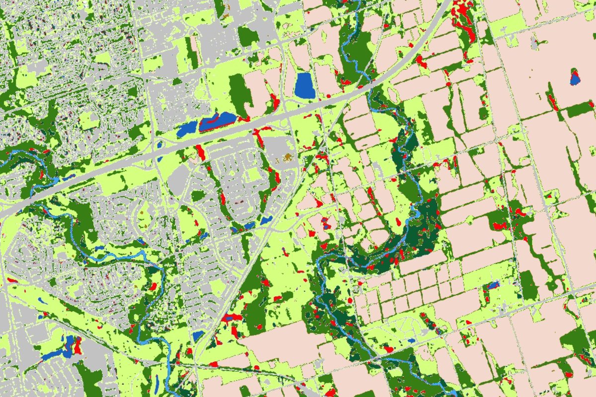
TRCA Land Cover Mapping

Google Earth Engine app · PlanetScope 3 m · 2020 and 2025

Land use and land cover maps of the Toronto and Region Conservation Authority (TRCA) jurisdiction, produced from 3 m PlanetScope imagery with deep learning. The app shows the 2020 and 2025 maps side by side, together with the training samples behind them.

  • 10 land cover classes
  • 92.6% accuracy, 2020
  • 91.3% accuracy, 2025

02

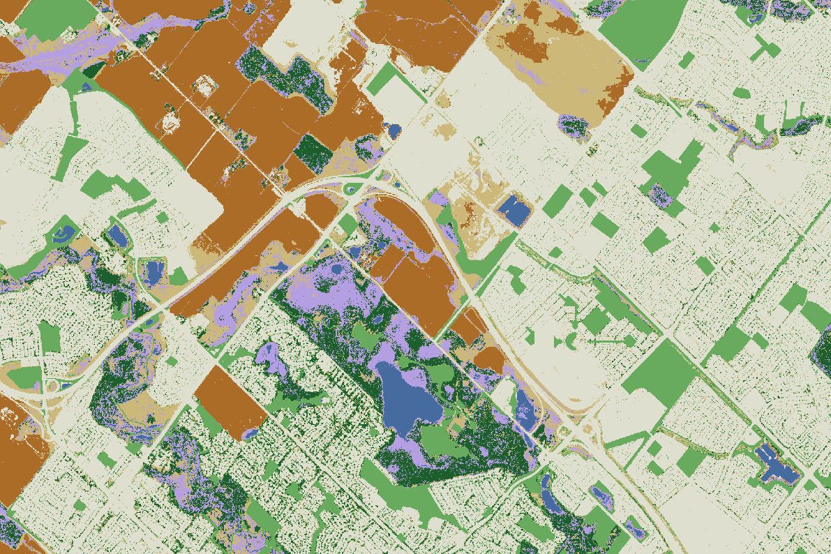
LULC and Wetland Classification Dataset

Brampton, Ontario · Sentinel-2 and WorldView

Land use / land cover and wetland subclass maps of Brampton, Ontario, classified from Sentinel-2 and WorldView-2/3 imagery, shared together with the image composites, reference wetland data, accuracy assessments and temporal stability tests.

  • 6 land cover classes
  • 3 wetland subclasses
  • 91.2% accuracy, Sentinel-2

03

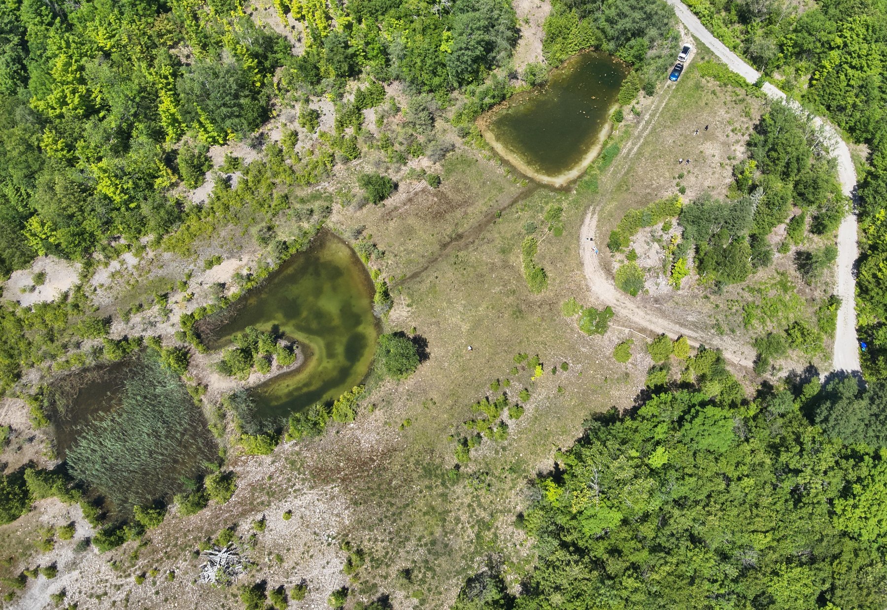
Ecosystem Rehabilitation Dataset

Drone remote sensing · southern Ontario · 2023

Maps of fractional green and dead vegetation cover for three rehabilitated surface-mining sites in southern Ontario, estimated from monthly drone imagery collected from May to August 2023, with the field plot measurements used to build them.

  • 3 rehabilitated sites
  • 94 field plots
  • R² 0.94–0.97 green cover

04

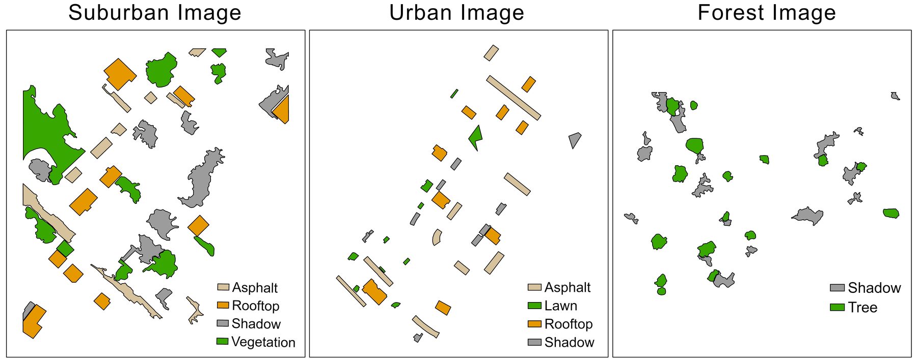
University of Toronto HSI-301 Dataset

Hyperspectral imagery · 301 channels · 0.3 m

Three 301-channel hyperspectral images of suburban, urban and forest landscapes in southern Ontario, collected and pre-processed by the RSSEM Lab, with manually digitized reference polygons for classification and accuracy assessment.

  • 301 spectral channels
  • 0.3 m resolution
  • 112 reference polygons

05

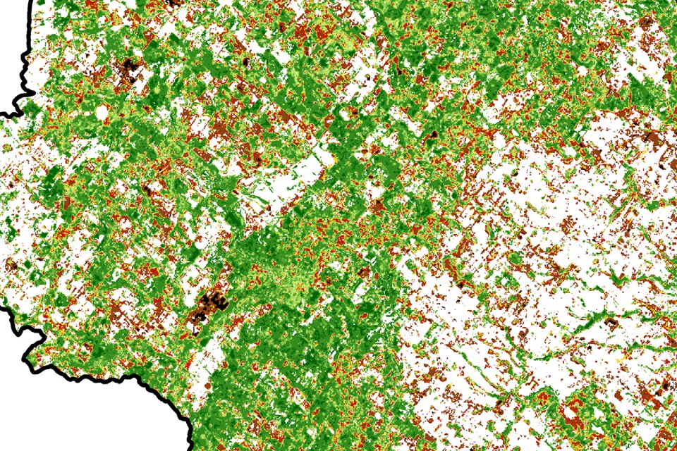
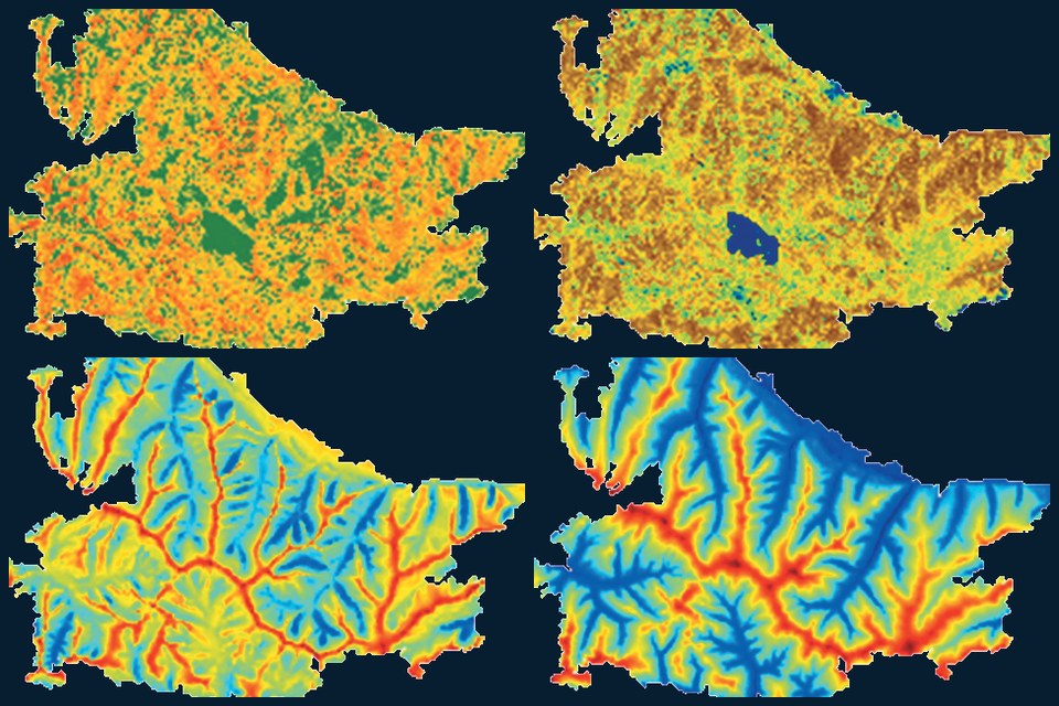
Peel Urban Forest Change, 1944–2020

Landsat 30 m · aerial photographs · tree rings · Region of Peel

Open data and code from Dr. Mitchell Bonney’s research with Prof. Yuhong He: yearly 30 m tree canopy cover maps for 1972–2020, residential canopy and inequality, 2018 municipal canopy maps, tree density since 1944 and tree-ring records for the Region of Peel, Ontario.

  • 1972–2020 yearly canopy maps
  • R² 0.89 canopy cover model
  • 20 tree-ring records

06

Subarctic Wildfire Severity

Central Yukon · Landsat and ERA5-Land · 1986–2020

Open data, a trained XGBoost model and Python code from a driver analysis of wildfire severity (dNBR) for 70 large fires in the central Yukon, Canada, combining Landsat burn severity with climate, topographic and vegetation variables.

  • 70 large fires
  • 35 years, 1986–2020
  • 0.70 validation pseudo r²

07

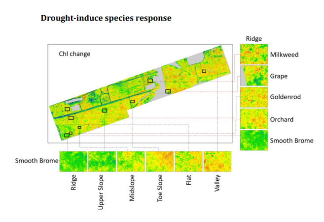
Grassland Imaging Spectroscopy and Drought Dataset

Airborne imaging spectroscopy · Koffler Scientific Reserve · 2016 and 2017

Airborne hyperspectral images, leaf and canopy trait measurements, topographic data and analysis code for a mixed grassland in Ontario, used to study how topography shapes plant functional traits and species’ responses to the 2016 drought.

  • 301 spectral bands
  • ~0.2 m resolution
  • 244 leaf samples

For data requests and research collaboration, please contact Prof. Yuhong He.

Email the lab
Licences

Each dataset is shared under the licence given on its product page and in its repository: Creative Commons Attribution 4.0 (CC BY 4.0) or CC0 1.0. Code is released under MIT, GPL-3.0 or CC0 1.0. Please cite the associated publication when using them.