
Species map
Object-based classification of the five species, trained and tested on 350 reference samples: 89.6% overall accuracy, kappa 0.870.
Research Products / Open dataset
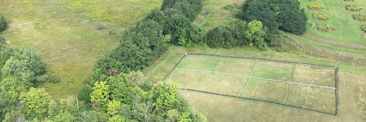
Airborne hyperspectral images, plant trait measurements and topographic data for a mixed grassland at Koffler Scientific Reserve, Ontario, in a drought year (2016) and a normal year (2017).
This dataset supports the first study to use high-resolution airborne imaging spectroscopy to characterize the variation of chlorophylls (Chl), carotenoids (Car), the Chl/Car ratio, water content (WC) and leaf area index (LAI) across topographic gradients and under drought stress, at the species level, in a heterogeneous grassland.
The study site is a grassland at Koffler Scientific Reserve in Ontario, Canada, dominated by two invasive species, smooth brome (Bromus inermis) and orchard grass (Dactylis glomerata), and three native species, goldenrod (Solidago canadensis), common milkweed (Asclepias syriaca) and wild grape (Vitis riparia). Trait values decreased from lower to upper slope positions, and drought-induced trait responses differed within and between species, particularly between the drought-tolerant invasive smooth brome and the native species.
This dataset can support grassland conservation and the management of invasive species. The images, trait measurements and maps can be used to monitor plant condition and drought stress across varied terrain and to predict where invasive grasses such as smooth brome are likely to establish and spread, as well as to develop methods for mapping plant traits and species with airborne and satellite imaging spectroscopy, such as the EnMAP and PRISMA missions and the future Surface Biology and Geology mission.
Object-based classification of the five species, trained and tested on 350 reference samples: 89.6% overall accuracy, kappa 0.870.
Chl, Car, Chl/Car, WC and LAI mapped from the airborne images for both years; leaf-level models were built from leaf reflectance measured with a FieldSpec 3 spectroradiometer.
Trait differences between the drought and normal years across six topographic categories, from valley to ridge. WC and LAI changed most; Chl/Car was the most stable.
Study details are from the dataset README and the preprint of the article (bioRxiv, 2024).
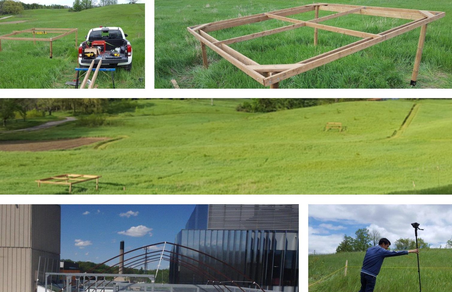
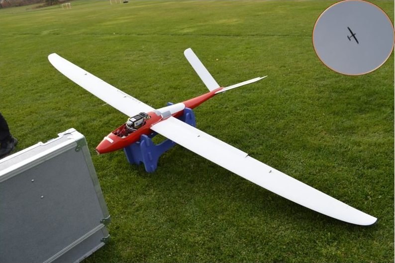
Photos from related RSSEM Lab field work; they are not part of the Dryad dataset.
Dao, P. D., He, Y., Lu, B., & Axiotis, A. (2025). Imaging spectroscopy reveals topographic variability effects on grassland functional traits and drought responses. Ecology, 106(3), e70006. https://doi.org/10.1002/ecy.70006
Dao, P. D., He, Y., Lu, B., & Axiotis, A. (2025). Imaging spectroscopy reveals topographic variability effects on grassland functional traits and drought responses [Data set]. Dryad. https://doi.org/10.5061/dryad.2jm63xt0d
Please cite the article and the dataset when using these data.
Questions about the data, the study site or collaboration on imaging spectroscopy of vegetation are welcome. Please get in touch with the laboratory.
For other enquiries, see the lab contact page.
Principal Investigator, RSSEM Lab
Department of Geography, Geomatics and Environment, University of Toronto Mississauga