
Teaching
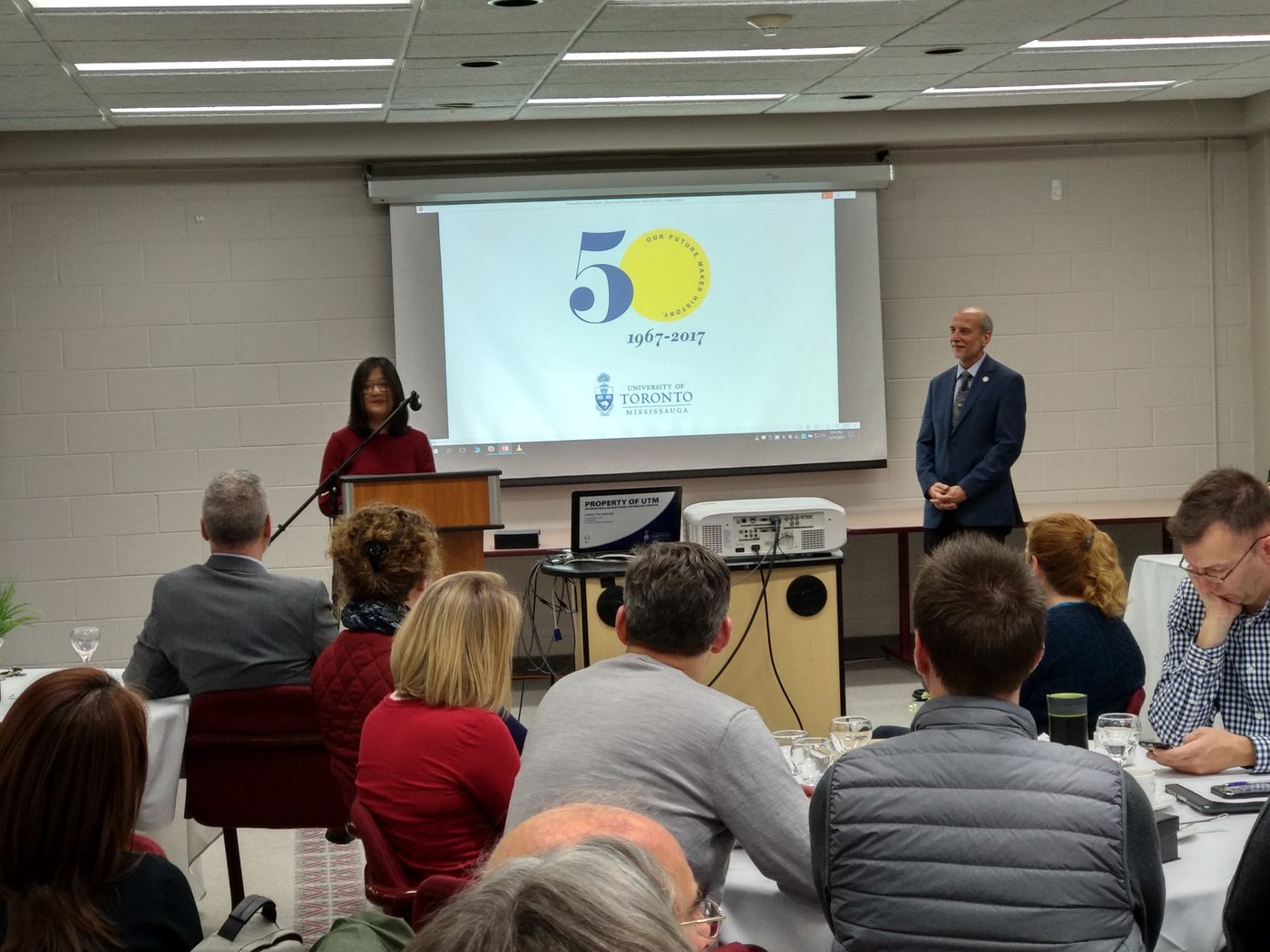
Prof. He teaches geospatial science across undergraduate and graduate programs at the University of Toronto, from introductory spatial analysis to drone remote sensing and cloud-based image analysis.
Recipient of the E. A. Robinson Teaching Excellence Award at UTM, 2017.
Courses taught
Undergraduate and graduate courses in GIS, remote sensing and environmental analysis at the University of Toronto.
Undergraduate
Graduate
Pedagogical research
Publications and funded projects on geospatial education and online learning.
Joshi, I., Ge, H., Zhu, T., He, Y., & Toh, S. M. (2026). Impact of geospatial training on key planning sustainability competencies. Sustainable Futures, 11, 101934. https://doi.org/10.1016/j.sftr.2026.101934 (IF: 6.7)
Huda, T., Wang, A., Zhang, H., Gao, L., He, Y., & Zhu, T. (2025). Identifying food deserts in Mississauga: A comparative analysis of socioeconomic indicators. Urban Science, 9(7), 265. https://doi.org/10.3390/urbansci9070265 (IF: 3.2)
Hisey, F., Zhu, T., & He, Y. (2024). Use of interactive storytelling trailers to engage students in an online learning environment. Active Learning in Higher Education, 25(1), 151–166. https://doi.org/10.1177/14697874221107574 (IF: 3.4)
Mui, A. B., Nelson, S., Huang, B., He, Y., & Wilson, K. (2015). Development of a web-enabled learning platform for geospatial laboratories: improving the undergraduate learning experience. Journal of Geography in Higher Education, 39(3), 356–368. https://doi.org/10.1080/03098265.2015.1039503 (IF: 1.4)
He, Y. (2013). Monitoring vegetation responses to climatic variation. In S. L. Ross, Weather and climate: An introduction (pp. 411–412). Oxford University Press.
Developing an Effective Web-Based Platform for Large-scale Geospatial Learning
Supported by UTM Decanal GEF (2013–2015) and the Provost’s Instructional Technology Innovation Fund (2014–2016)
This project built a web-based geospatial learning platform that gives undergraduates access to virtual geospatial labs when a physical lab is unavailable or hard to reach. It is now run by UTM Information and Instructional Technology Services (I&ITS) as the university’s web-based learning platform, which students across the University of Toronto use to reach geospatial software remotely.
The project was delivered in partnership with I&ITS, the Robert Gillespie Academic Skills Centre (RGASC) and the Hazel McCallion Academic Learning Centre (HMALC).