
Site one
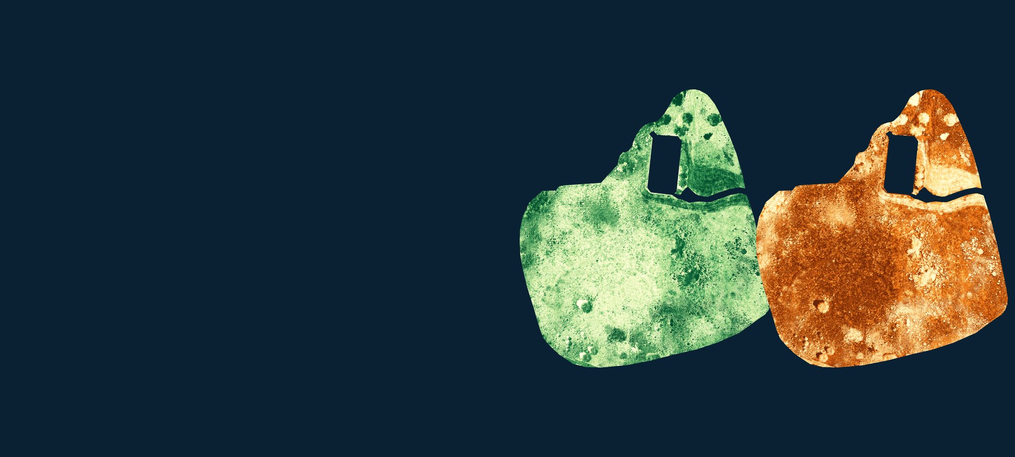
Strong seasonal greening: 48–60% green cover and 40–51% dead cover (monthly averages).
Research Products / Open dataset
Drone-derived maps of green and dead vegetation cover, with field plot data, for three rehabilitated surface-mining sites in southern Ontario.
Restoring ecosystems affected by surface mining depends on monitoring that shows whether rehabilitation is succeeding. Field surveys and satellite imagery are often limited by cost, spatial resolution or how often they can be repeated, especially when many small or fragmented sites have to be followed.
This dataset supports a study that used visible imagery from drones (UAVs) to estimate within-season change in fractional green and dead vegetation cover at three sites at different stages of rehabilitation in southern Ontario, Canada, and produced high-resolution cover maps for each site.
These maps and field data can support the monitoring and management of rehabilitated surface-mining sites. The low-cost drone approach can be used to track vegetation recovery through the growing season, detect sites where recovery has stalled, evaluate soil amendments and seeding strategies, and decide where follow-up work is most needed, as well as to complement field surveys and satellite monitoring of small or fragmented sites and to inform best-practice guidelines for rehabilitation.
Strong seasonal greening: 48–60% green cover and 40–51% dead cover (monthly averages).
Limited recovery: 24–47% green cover and 52–76% dead cover, likely due to poor substrate and minimal follow-up.
Early recovery: 48–56% green cover and only 10–15% dead cover (monthly averages).
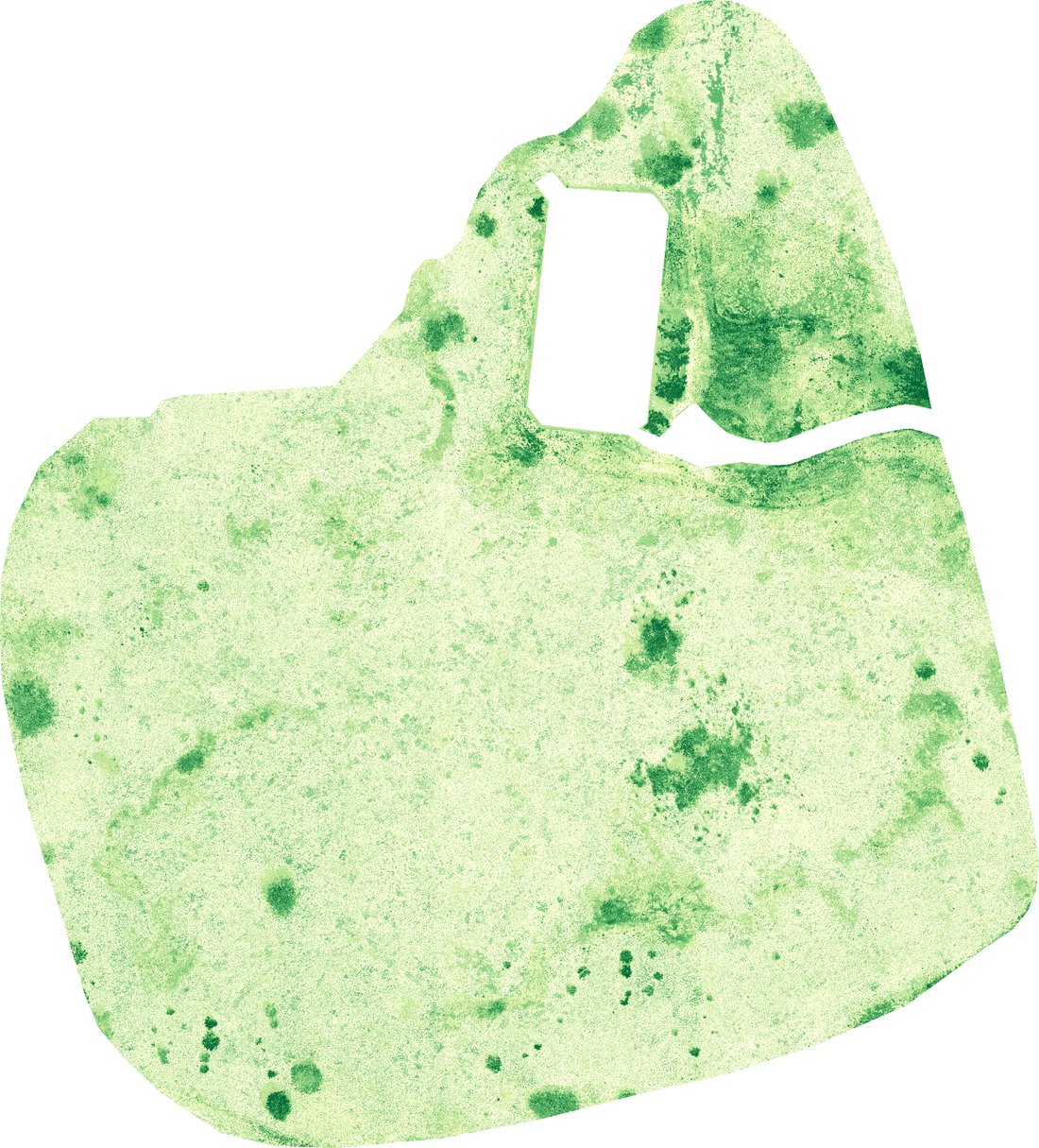
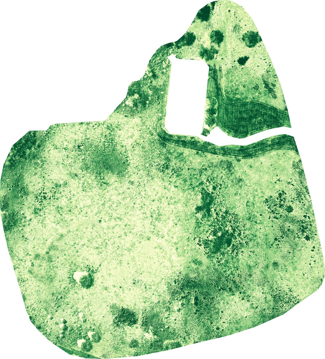
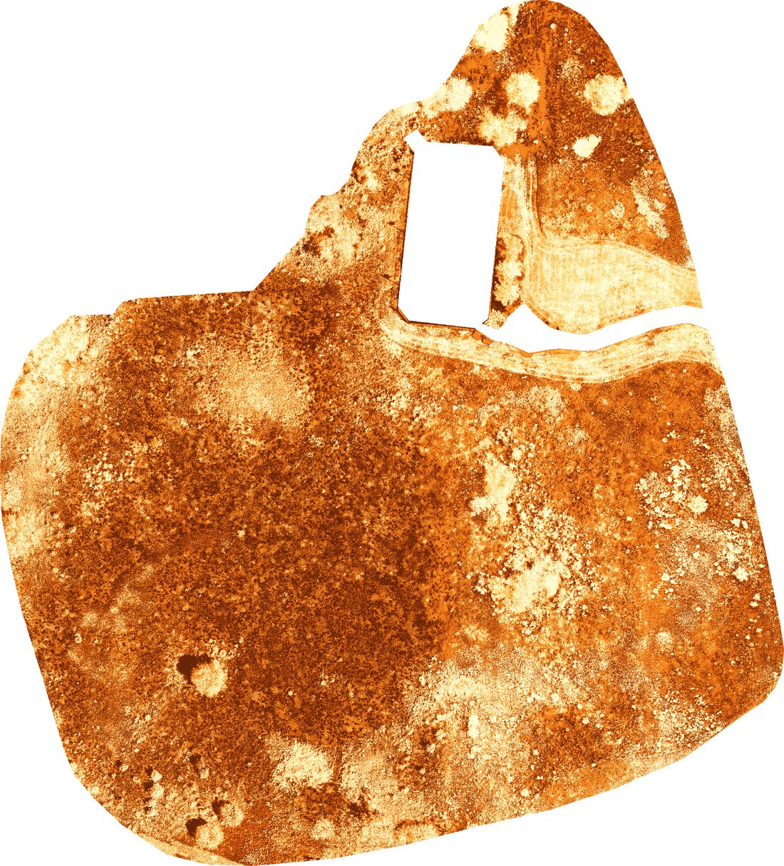
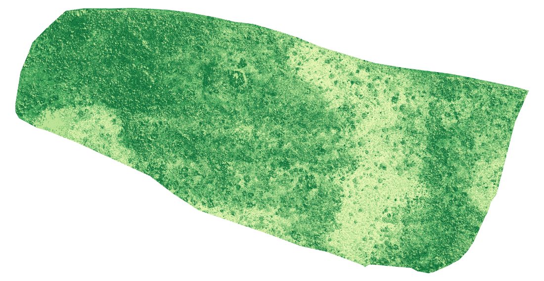
Preview images from the dataset. The georeferenced files are in the dataset folder.
Noonan, M., He, Y., Nelson, D. M., Ge, H., Siu, R., & Duval, T. P. (2025). Estimating seasonal fractional green and dead vegetation cover in rehabilitated ecosystems using drone remote sensing. Ecological Informatics, 92, 103456. https://doi.org/10.1016/j.ecoinf.2025.103456
Please cite this article when using the dataset.
Questions about the data, the study sites or collaboration on rehabilitation monitoring are welcome. Please get in touch with the laboratory.
For other enquiries, see the lab contact page.
Principal Investigator, RSSEM Lab
Department of Geography, Geomatics and Environment, University of Toronto Mississauga