
Two sensors
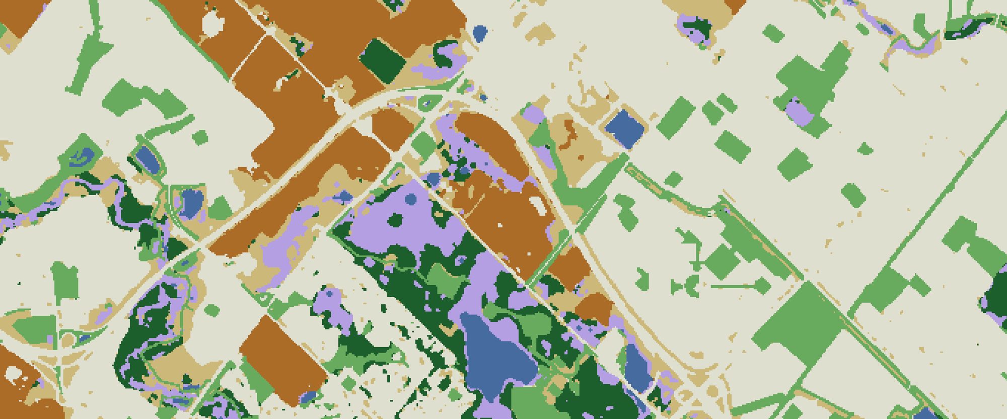
Parallel classifications of the same area from Sentinel-2 and from WorldView imagery, for comparing medium- and high-resolution mapping.
Research Products / Open dataset
Land use / land cover and wetland subclass maps of Brampton, Ontario, classified from Sentinel-2 and WorldView-2/3 satellite imagery.
This dataset contains the maps and accuracy assessments of a study that classified urban land use / land cover (LULC) and wetland subclasses in Brampton, Ontario, Canada, from Sentinel-2 and high-resolution WorldView-2 and WorldView-3 imagery.
Six LULC classes are mapped (water, agriculture, developed land, forest, herbaceous vegetation and wetland), and wetlands are divided into bogs, marshes and swamps, with Ecological Land Classification (ELC) wetland mapping as the reference. The dataset also includes the image composites, confusion matrices with confidence intervals, and tests of how stable each class’s spectral signature is from one summer to another.
These maps and accuracy assessments can support wetland conservation and land-use planning in fast-growing urban areas. The approach can be used to inventory bogs, marshes and swamps and to monitor wetland and land-cover change in conservation areas under development pressure, as well as to guide conservation agencies in choosing imagery: in this study, freely available Sentinel-2 imagery matched or exceeded the accuracy of costly WorldView imagery, which is best reserved for site-level studies that need sub-metre detail.
Parallel classifications of the same area from Sentinel-2 and from WorldView imagery, for comparing medium- and high-resolution mapping.
Bog, marsh and swamp mapped against an Ecological Land Classification (ELC) reference, with accuracy reported for each subclass.
Per-class vegetation and water indices (EVI, NDVI and NDWI) compared between summer 2018 and 2020, and between summer 2020 and 2021.
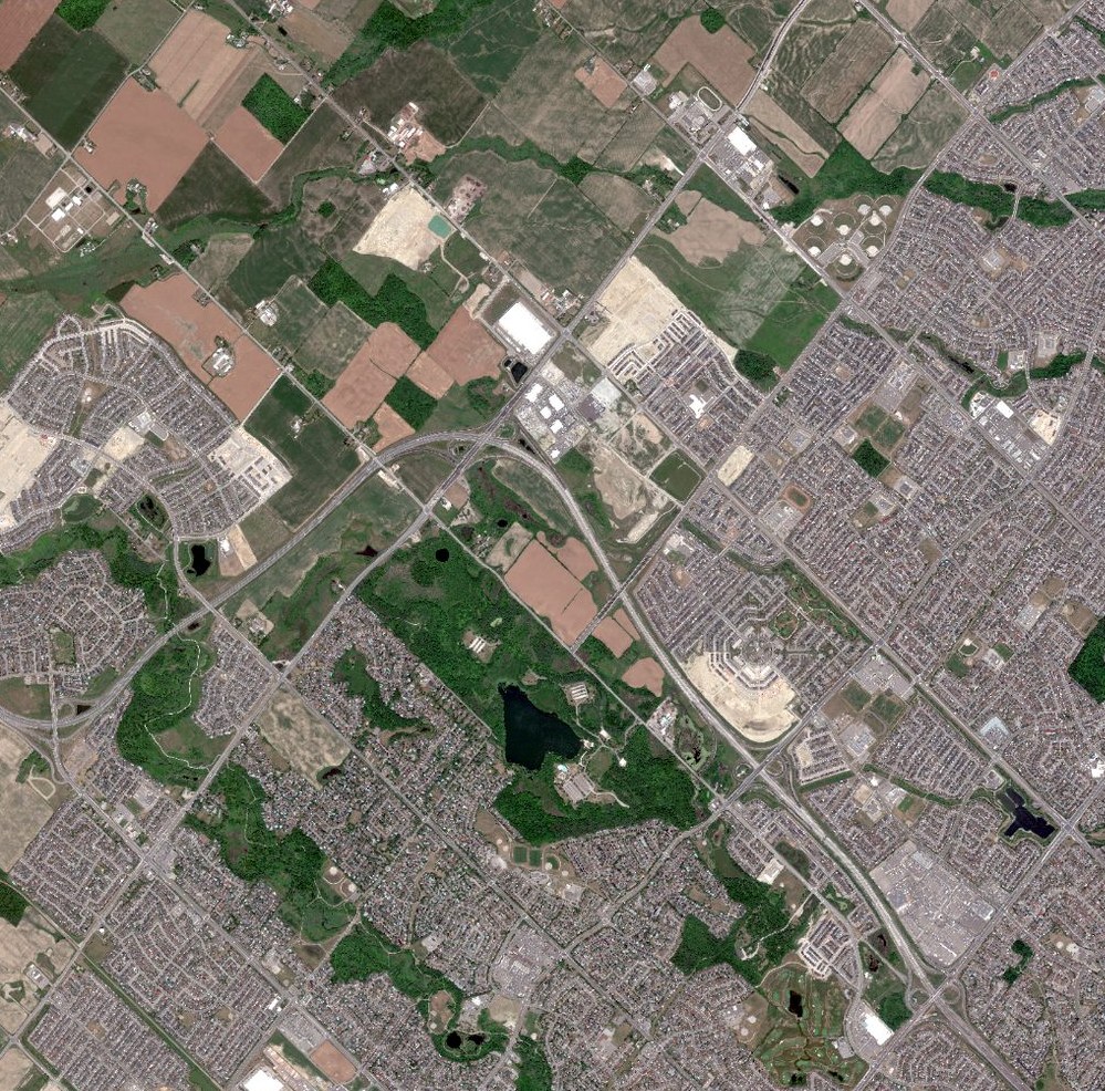
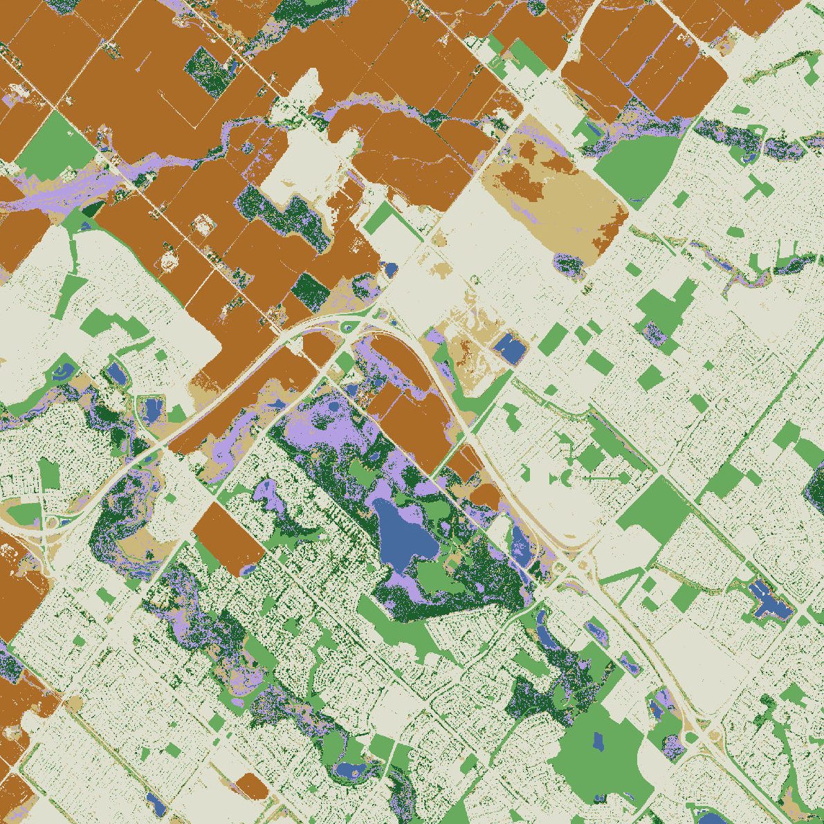
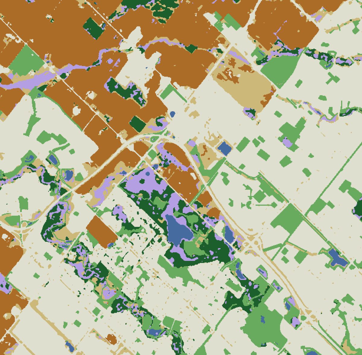
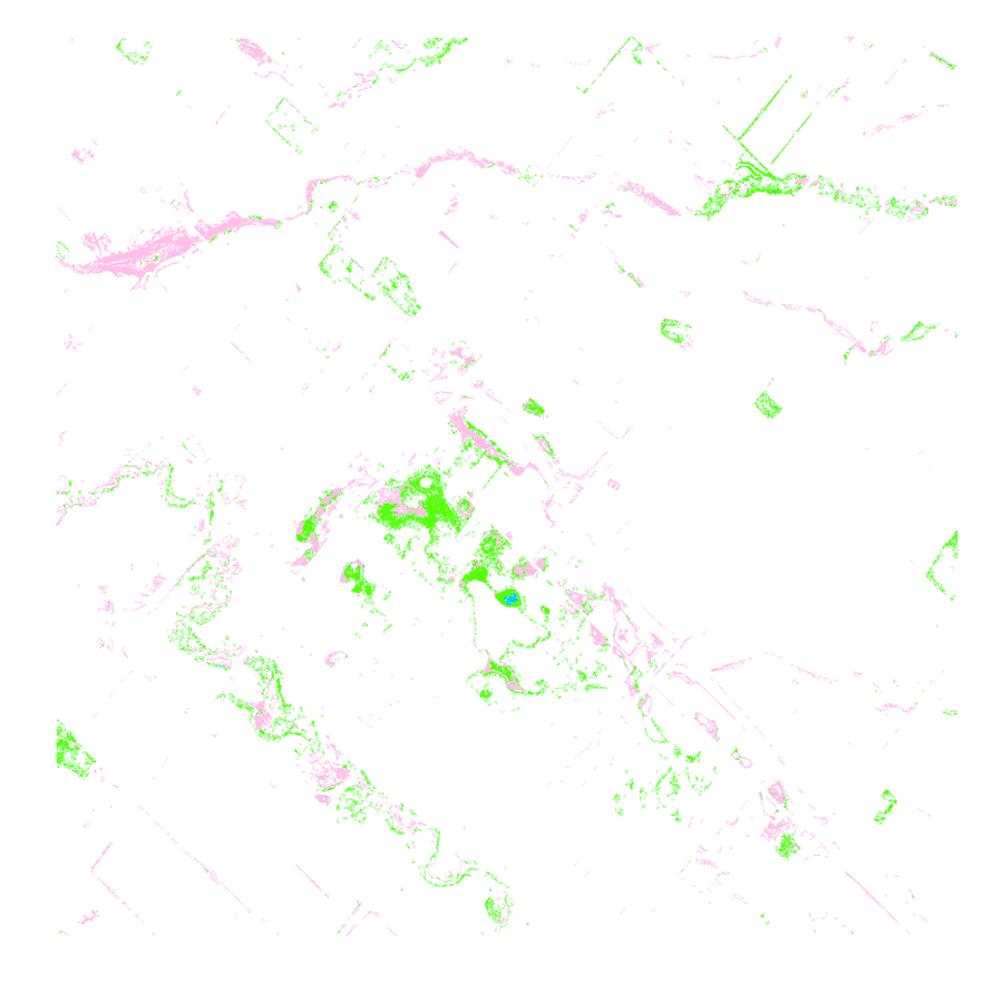
Preview images from the dataset. The full-resolution files are in the dataset folder.
| Subclass | Sentinel-2 | WorldView | Test samples |
|---|---|---|---|
| Bog | 87.5% / 70.0% | 76.0% / 63.3% | 30 |
| Marsh | 86.1% / 91.2% | 86.2% / 82.4% | 68 |
| Swamp | 73.9% / 63.0% | 60.0% / 66.7% | 27 |
Qiang, C., Ruppert, J., Cartwright, L., & He, Y. (2026). Hierarchical classification of urban LULC using Sentinel-2 and WorldView imagery: A comparative study for conservation applications. Ecological Informatics, 98, 103907. https://doi.org/10.1016/j.ecoinf.2026.103907
Please cite this article when using the dataset.
Questions about the data, requests for additional files or ideas for collaboration are welcome. Please get in touch with the laboratory.
For other enquiries, see the lab contact page.
Principal Investigator, RSSEM Lab
Department of Geography, Geomatics and Environment, University of Toronto Mississauga